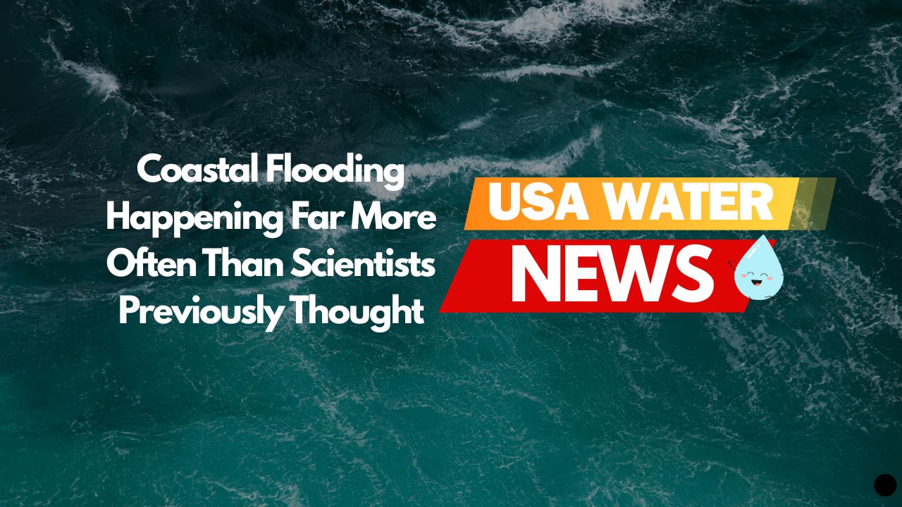
Picture this: you’re living in a coastal town, and every few weeks your street floods. Sometimes it’s during a regular rainstorm, other times on perfectly sunny days when the tide rolls in. You call city hall, but officials tell you flooding only happens a few times per year according to their data. Sound frustrating? It turns out you’d be right to question those numbers.
A groundbreaking study by researchers from North Carolina State University and UNC-Chapel Hill just shattered our understanding of how often coastal flooding actually occurs. The results are eye-opening: communities are getting flooded 10 times more frequently than government agencies realize.
The Shocking Discovery
Dr. Katherine Anarde and Dr. Miyuki Hino didn’t trust the official numbers. These researchers suspected that the tools scientists use to predict flooding—mainly tide gauges that measure ocean water levels—were missing something important. So they decided to find out for themselves.
Their team placed custom sensors directly in storm drains and along roads in three North Carolina coastal towns: Beaufort, Carolina Beach, and Sea Level. What they discovered during one year of monitoring (May 2023 to April 2024) completely upended conventional wisdom about coastal flooding.
The jaw-dropping results:
- Beaufort experienced flooding on 26 days
- Carolina Beach saw 65 days of flooding
- Sea Level endured a staggering 128 days of flooding
Meanwhile, NOAA’s official high-tide flooding predictions suggested these same communities would only flood about 9 days per year. In Carolina Beach’s case, the prediction was just 1 day. The scientists weren’t just a little off—they were dramatically underestimating the problem.
Why Scientists Got It So Wrong
The issue isn’t that tide gauges are broken. These instruments work perfectly fine for measuring ocean water levels. The problem is that flooding on land involves much more than just high tides.
Dr. Anarde explains it simply: “They’re designed to measure the tides or water levels of oceans and bays, and that means it’s imperfect or not intended to actually capture flooding on land.”
What tide gauges miss:
- Rainwater that can’t drain properly because of high tides
- Groundwater that gets pushed up when sea levels rise
- Old drainage systems that can’t handle today’s conditions
- The way different neighborhoods flood differently
Think of it this way: if you wanted to know how often your basement floods, would you measure the water level in the river across town? That’s essentially what scientists have been doing with coastal flooding.
The Real Story Behind the Numbers
When the researchers dug deeper into their data, they uncovered some surprising patterns:
Sunny day flooding is real: Many flood events happened during clear weather when tides were high. Residents would step outside on a beautiful morning to find their streets underwater.
Duration matters: It’s not just how often flooding occurs, but how long it lasts. Some areas stayed flooded for hours longer than tide predictions suggested.
Local factors dominate: Each community flooded differently based on their unique combination of infrastructure, elevation, and drainage systems.
It’s getting worse: Sea levels along the Southeast coast have risen more than 6 inches since 2010 alone—equivalent to what happened over the previous 50 years.
Dr. Hino puts it bluntly: “Our data highlight that the problem of sea level rise is not for future generations, it’s a now problem.”
What This Means for Coastal Communities
This research reveals that millions of Americans living in coastal areas face flooding far more often than anyone realized. The implications are massive:
Infrastructure planning: Towns have been designing drainage systems and roads based on wildly inaccurate flood predictions. No wonder so many coastal roads seem to flood “unexpectedly.”
Property values: If flooding happens 10 times more often than people think, how does that affect real estate in coastal areas?
Emergency response: First responders and local officials need better data to prepare for and respond to flooding events.
Climate adaptation: Communities trying to prepare for sea-level rise need accurate information about current conditions, not outdated estimates.
The researchers emphasize that their North Carolina findings likely reflect what’s happening along coastlines throughout the Southeast and Gulf Coast. “The problems we are seeing here are extremely likely to be problems we are seeing elsewhere,” Dr. Hino notes.
The Technology That Revealed the Truth
The breakthrough came from thinking outside the box. Instead of relying on ocean measurements, the research team created a network of land-based sensors specifically designed to detect when roads actually flood.
Their innovative approach:
- Waterproof sensors placed inside storm drains
- Cameras positioned above ground to visually confirm flooding
- Custom software that transmitted real-time data wirelessly
- A year-long monitoring period to capture seasonal patterns
This wasn’t just a quick study—it was a comprehensive monitoring system that tracked every single flood event, no matter how brief or minor.
The sensors defined flooding as any time water spilled onto nearby roads, which matches what residents actually experience. Previous methods often missed these “nuisance” floods that significantly impact daily life.
Why Traditional Methods Failed
Government agencies rely on two main approaches to predict coastal flooding: NOAA’s High Tide Flooding threshold and the National Weather Service’s minor flood threshold. Both use tide gauge data to estimate when flooding might occur on land.
But here’s the problem: coastal flooding isn’t just about high tides anymore.
The missing pieces:
- Rainfall runoff: When storms coincide with high tides, drainage systems can’t handle the combined water load
- Groundwater intrusion: Rising seas push groundwater up through the soil
- Aging infrastructure: Many coastal drainage systems were designed decades ago for lower sea levels
- Local topography: Each neighborhood has unique elevation and drainage characteristics
Dr. Anarde describes these traditional methods as “poor indicators of flooding” because they don’t account for the complex interactions happening on land.
The Human Impact
Behind all these numbers are real people dealing with flooded streets, waterlogged cars, and the constant stress of unpredictable flooding.
Sea Level, North Carolina—the community with 128 flood days—is a rural area where residents often can’t afford to constantly replace flood-damaged belongings. Carolina Beach deals with flooded tourist areas that hurt local businesses. Beaufort struggles with flooding that disrupts daily commutes and emergency services.
“People know where it floods and a lot of people can put numbers to how frequently it floods, but as scientists, we just had no idea what ‘all the time’ meant,” Dr. Hino admits.
This disconnect between lived experience and scientific understanding has left communities feeling unheard and unprepared.
Looking Ahead: What Needs to Change
The researchers aren’t just pointing out problems—they’re working with communities to develop solutions. But first, we need better data.
Immediate needs:
- More land-based flood monitoring systems
- Updated flood prediction models that account for multiple factors
- Infrastructure assessments based on actual flood frequency
- Community-specific adaptation strategies
Long-term implications:
- Rethinking coastal development patterns
- Upgrading drainage systems for current reality
- Adjusting flood insurance rates based on accurate risk
- Preparing for even more frequent flooding as seas continue to rise
The researchers stress that every community faces unique challenges. “There’s no one-size-fits-all solution,” Dr. Hino explains. “But with more accurate data, we can help communities assess what response strategy is best for them, now and in the future.”
The Bigger Picture
This study represents more than just better flood measurement—it’s a wake-up call about how quickly our coastal environment is changing.
The Southeast has experienced some of the fastest sea-level rise on Earth since 2010. Communities that thought they had decades to prepare are discovering they’re already living with the consequences of climate change.
The acceleration is real: High-tide flooding in the Southeast now happens about five times more often than it did in 1990. Projections suggest it could be 15 times more frequent by 2050.
But the researchers found something even more concerning than increased frequency: some areas are approaching “permanent inundation,” where water levels rarely recede completely.
What Residents Can Do
If you live in a coastal area, this research suggests you should trust your own observations about flooding frequency rather than relying solely on official predictions.
Practical steps:
- Document flood events in your neighborhood with photos and dates
- Share information with neighbors to build community awareness
- Contact local officials about infrastructure needs
- Consider flood-proofing measures for your property
- Stay informed about local adaptation planning efforts
The researchers continue working with communities to develop better monitoring systems and adaptation strategies. Their “Sunny Day Flooding Project” aims to help more coastal areas understand their true flood risks.
Bottom Line: A New Reality Requires New Approaches
This groundbreaking research proves that coastal flooding is already a much bigger problem than scientists realized. Communities face inundation far more frequently than government data suggests, and traditional prediction methods are inadequate for today’s reality.
The key takeaways:
- Actual flooding happens 10 times more often than tide gauges predict
- Many flood events occur during normal weather, not just storms
- Current infrastructure wasn’t designed for today’s sea levels
- Communities need better data to make informed decisions
What this means for you:
- If you live near the coast, flooding is likely more frequent than official estimates suggest
- Planning for sea-level rise needs to start now, not in future decades
- Local knowledge often trumps distant scientific predictions
- Better monitoring and adaptation strategies are urgently needed
As Dr. Anarde puts it: “I view it as a harbinger of what’s to come.” The question isn’t whether coastal flooding will get worse—it’s whether communities will get the accurate information they need to adapt effectively.
This research shows that understanding the present is just as important as predicting the future. Only by accurately measuring today’s flood reality can coastal communities prepare for tomorrow’s challenges.
Learn More
- Follow the research – The Sunny Day Flooding Project continues monitoring coastal communities
- Document local flooding – Help build community awareness by tracking events in your area
- Contact officials – Share local knowledge with planners and emergency managers
- Prepare your property – Consider flood-proofing measures based on actual local conditions
Sources: Nature Communications Earth & Environment, North Carolina State University, University of North Carolina at Chapel Hill, Washington Post | Last Updated: June 24, 2025
Check your water now!
We have translated and compiled water reports on every state in the US, and covered over 100 cities. Find out how good your water is today!
Please read – our information
The information presented on cleanairandwater.net is compiled from official water quality reports, trusted news sources, government websites, and public health resources. While we strive for accuracy and thoroughness in our presentations, we are not scientists, engineers, or qualified water quality professionals.
Our mission is to present water quality information in an accessible, real-world format that helps people understand what’s in their water and make informed decisions about their health and safety. We believe that complex environmental information should be available to everyone in a format that’s easy to understand.
We make every effort to ensure our content is current and accurate, but we cannot guarantee that all information is complete or error-free. This website should not replace official communications from your local water utility or health department. We always recommend consulting official sources for the most up-to-date information regarding your specific water system.
Clean Air and Water is not liable for any unintentional errors, omissions, or outdated information. The content on this site is provided for informational purposes only and should not be considered professional advice.